Hike description
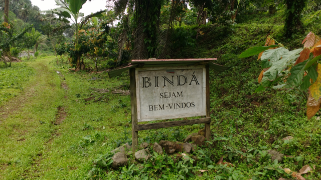
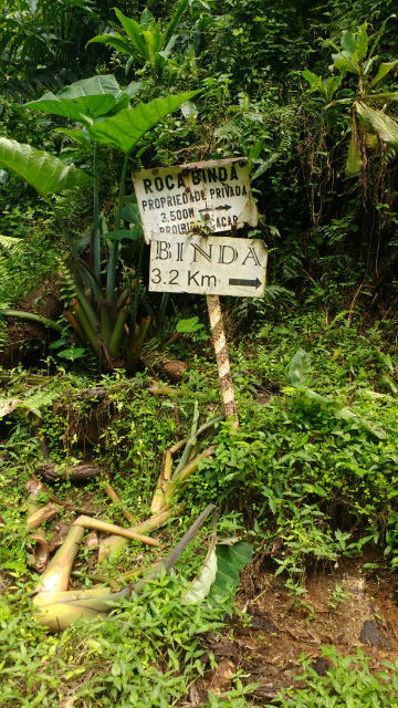
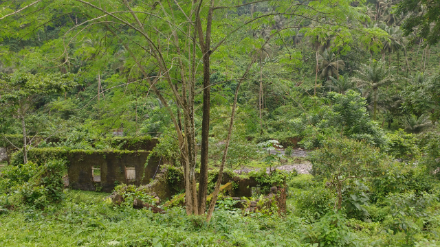
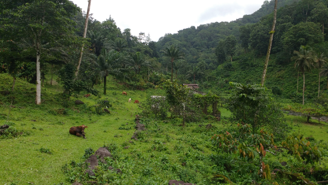
Roça Bindá trail allows you to explore one of the most remote plantations where the Portuguese, during colonial times, dared to settle. The hike is itself quite easy and was possible to drive it until very recently. Now several trees and landslides prevent the access for the vehicles.
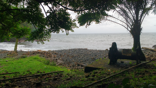
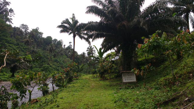
You can start by leaving your car in Ponta Furada and following the perpendicular road that leads to Bindá. You will pass cocoa plantation currently administered by Satocao until you start descending to the roça’s valley. You will from then on follow the river until you find yourself in the idyllic landscape of Bindá. Go and explore the ruins and have a chat with the last inhabitants of the roça.
How to Get There
Get a shared Taxi from the capital to Santa Catarina. Once there try to organize a mototaxi to Ponta Furada or just walk until the starting point. Many tourists just drive until the end of the road (still don’t understand why), so you might also get a lift.
Trail Conditions
Easy trail. Was possible to drive it until very recently. Some old signs still available on the way.